featured Slider

Showing posts with label Moderate Hike. Show all posts

Castle Lookout - Hike

A trek beside the highway that leads up and up and up until you can see some amazing views of the valley below.

Difficulty: moderate
Round trip: 7.4 km
Hiking Time: 3-4 hours 
Elevation Gain: 520 m
FitBit: approx. 12,000 steps and 173 flights of stairs
Location: Banff National Park


TRAIL HEAD
Marked: yes
Facilities: no
How to get there: From Calgary drive west on Hwy 1 until you pass Banff. You are heading to Hwy 93/Banff-Windermere Hwy. Turn right to cross the Bow River and drive to the end of the road where there will be a little corner station (your last chance for a washroom). At the end of the road turn left onto the Bowvalley Parkway/ Hwy 1A and drive for about 6km to the parking lot on the north side of the road.
Click for directions from Calgary.


HIKE DETAILS
Your trailhead is easy to find at the end of the parking lot. And the trail is well defined and easy to follow. Enjoy your hike through the trees with many peeks at the view beyond, but the best is to come at the final destination. You'll know you've reached the end when you see some large cairns and a piece of the old lookout foundation. Return the way you came.


Kid Friendly: yes
Dog Friendly: yes

Happy Hiking!


Baldy Pass - Hike


A moderate hike through the trees and across varying terrain. There is no amazing view from the top, but for exercise and a simple good time this can be a nice short hike.

Difficulty: moderate
Round trip: 8 km
Hiking Time: 2.5 - 3.5 hrs 
Elevation Gain: 420 m
FitBit: approx. 13,500 steps and 138 flights of stairs
Location: Kananaskis


TRAIL HEAD
Marked: yes
Facilities: yes 
How to get there: From Calgary drive west on Hwy 1 until you can take exit 118 to Kananaskis Trail/ Hwy 40. Drive approximately 15km to where you will see a sign for Baldy Pass Trail and park in the lot on the west side of the road.

Click for directions from Calgary.
Trail Map
HIKE DETAILS
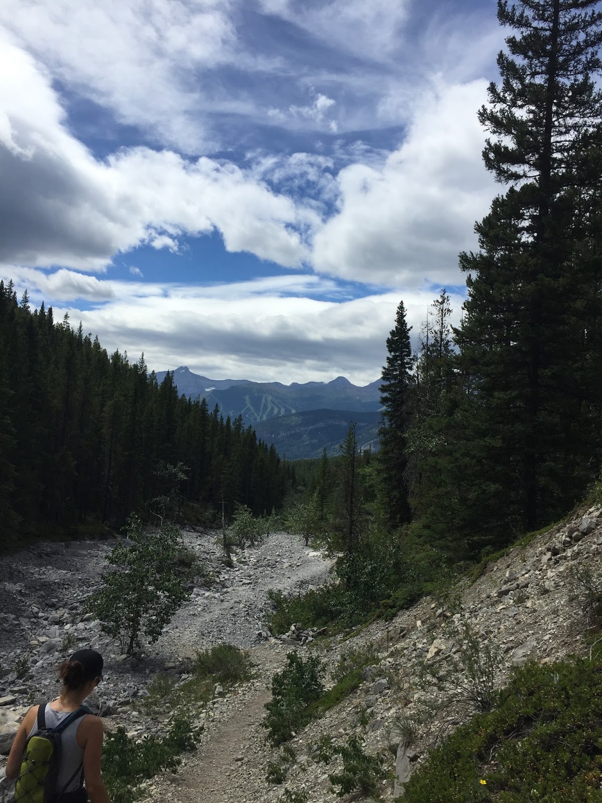
Your trailhead is across the road from the parking lot so on the east side of the highway. You'll see a pedestrian crossing leading to the start of the trail. The initial part of the hike is easy, you won't accumulate terribly much elevation until you are about midway. The terrain changes back and forth from dirt and rooty paths to a rocky washed out riverbed, so as usual wear appropriate footwear.

There is only one fork in the path, but it is close to the start and there is a map to direct you. Simply keep left along the more beaten trail and continue hiking east. Most of the trail is among the trees, but when out of the shade the sun can be warm on sunny day. You'll know you are at the pass when you reach a large pile of rocks and a cairn someone has built on top. The trail splits and continues both north and south, but details for those are not found here yet. When you are satisfied with your progress, return the way you came. You'll find the views are better on the way down!

Kid Friendly: yes
Dog Friendly: yes


NOTE
-This one has limited views as you climb and at the top (they are behind you so better on your descent), so your best bet may be to make this a longer trip and continue the climb a little ways. Though details for that are not available here yet. 

Happy Hiking!


Lake Agnes Tea House - Hike

A popular hike, that with some work leads to a great reward, a beautiful view of Lake Agnes as well as a pit stop at the tea house which is only accessible by hiking to it. 

Difficulty: moderate
Round trip: 7 km
Hiking Time: 2.5 - 3.5 hours 
Elevation Gain: 380 m
FitBit: approx. 11,700 steps and 124 flights of stairs
Location: Lake Louise


TRAIL HEAD
Marked: Yes
Facilities: Yes
How to get there: From Calgary drive west on Hwy 1 towards Lake Louise. Drive 162km and at Hwy 1A take the exit to go west. The road turns into Lake Louse Dr., continue on it until you reach the Lake Louise parking lot. If it is full, there is a shuttle parking lot down the highway.

Click for directions on Google Maps
Trail Map


HIKE DETAILS
Your trailhead begins at the north end of Lake Louise (as seen in the map above). It is marked by a sign near some garbage bins, but the sign is small. To keep it simple, walk along the path by the lake in front of the chateau, and when the trail splits, keep right. From there just follow the wide trail.

It will be busy on the trail as this is a popular spot (you'll get that indication by the parking lot), but it is beautiful nonetheless. Along the way there is a small lookout over Lake Louise. Another viewpoint spot is at Mirror Lake and that is very nice, but just short ways up now is the final detestation of the tea house and Lake Agnes. Enjoy the views and a cup of tea (cash only) if you so desire!


Kid Friendly: yes
Dog Friendly: yes


NOTE
-The majority of the hike is in the trees, but it still is warm on a hot sunny day. It then can be cooler and windy at the top, so bring layers. 
-There was still snow in early June, so be prepared for that if you go in the earlier or later months.
-For the tea house website click here.

Happy Hiking!


West Wind Pass - Hike


An engaging trail where steeper sections are balanced by level areas and mini dips in elevation. A beautiful view expands behind as you climb as your trail takes you to the ultimate view worth working for.

Difficulty: Light - moderate
Round trip: 4.5 km
Hiking Time: 2 - 3 hours
Elevation Gain: 378 m
FitBit: approx 10,750 steps and 155 flights of stairs
Location: Kananaskis


TRAIL HEAD
Marked: Sort of
Facilities: No
How to get there: From Calgary drive west on HWY 1 to Canmore. Get onto the Smith-Dorrien (HWY 742) on which you will pass the Canmore Nordic Centre. At that point you can reset your odometer to 0 and at approximately 18.5 km from there park in the pullout on the right side (w) side of the road.


HIKE DETAILS
Cross the road to find your trail on the east side of the highway. Almost immediately come to a fork and go left. Initially you are on the Trans Canada Trail and will quickly arrive at a second fork. A hand written sign will direct you to keep right and ascend the steeper looking path.

Hiking generally NE towards the pass you will find lovely views open up behind you quite quickly. In a few places the trail will appear to fork again, (sometimes downward to the right). It would appear that all these trails eventually meet up at different places. Stick to the path most trodden and you should reach your destination with no issues.

Nearing the pass you will see a visible trail climbing the mountain to your right, ignore it as that climbs up to summit Windtower (details not provided here). Continue until you crest the pass and find some reprieve from the wind by descending to the grassy plateau just a little ways further. Then sit and enjoy your well earned view!


EXTRA TIPS
-April 1 to June 15 the trail will be closed for bighorn sheep lambing. 
-This trail has a few little sections where you dip down slightly, not significantly each individual time, but enough overall to add turn 378 m of elevation gain into a cumulative amount of about 470 m.
Kid Friendly: yes
Dog Friendly: yes


Happy Hiking!


Chester Lake - Hike


The most popular hike you will probably ever do in the Rocky Mountains and for good reason. It's moderate for effort level, it's a decent length, it's a nice day trip from the big city, and it all ends with a rewarding mountain lake destination!

Difficulty: Light
Round trip: 9 km
Hiking Time: 3 - 4 hours
Elevation Gain: 330 m
FitBit: approx 13,000 steps and 120 flights of stairs
Location: Peter Lougheed Provincial Park
Kid Friendly: yes
Dog Friendly: yes*


TRAIL HEAD
Marked: Yes
Facilities: Yes
How to get there: From Calgary drive west on Hwy 1. Turn off at Kananaskis Trail/Hwy 40 and drive approximately 50km. At Kananaskis Lakes Trail turn right (west) into Peter Lougheed Provincial Park. Drive approx 2.2 km and turn right (north) onto the Smith Dorrien Trail. From here to your destination you will be on a gravel road versus a paved highway. Continue 20.2km more and turn right (north east) into the Chester Lake day use area.
Click for directions in Google Maps.
Trail Map

HIKE DETAILS
Your trail head is marked in the north east corner of the large parking lot. The start of the route has changed slightly since the flood of 2013, but it is well trodden and easily identifiable.

Hike on a wide rocky path through the forest gradually gaining elevation at a steady pace. You will see a couple of one-way signs along the way, follow them using the alternate route on your return to avoid heavy traffic later in the day. Otherwise, your trail is quite self explanatory.

Enjoy your trek through the woods and a few meadows on this hike. The hardest part is the elevation gain in the first two thirds of the way. After that the views open up, the terrain levels and only beauty awaits at the lake :)


EXTRA TIPS
*I do say this hike is dog friendly, however being such a busy location use your best discretion. And note dogs must always be on leash in the mountains as tickets will be issued if caught off leash.
-This is an extremely popular trail, indicated by the size of the parking lot when you arrive. If you want to avoid the rush you'll need to go early in the morning or on a non holiday week day.
-There is an option to continue hiking past Chester Lake to Three Lakes Valley, but those details are not listed here. 


Happy Hiking!


Hailstone Butte - Hike


A very short trip, but one that requires effort at the end. However the view is worth it! Just don't be blown away by it, literally. :)

Difficulty: Light
Round trip: 4 km
Hiking Time: 2 - 3 hours
Elevation Gain: 350 m
FitBit: approx 7,700 steps and 123 flights of stairs
Location: Kananaskis

TRAIL HEAD
Marked: No
Facilities: No
How to get there: From Calgary drive south on Hwy 2. You have multiple options to go through different small towns such as Black Diamond, Longview, or High River, just choose the way you feel best, and make your way south on Hwy 22 to Hwy 532. Turn right (W) and drive approx 21.5km to where you'll see a small pond. Cross the Texas gate and park in the pullout just after it on your left.


HIKE DETAILS
Your trail starts on the northwest side of the road directly across from where you park. Walk up the little hill and head nw, almost immediately you will see and hear a stream's trickle on your left. You will also see two narrow paths on the slop of the hill, stick to the lower one closest to the water. (If you are too close to the stream and don't see the path, walk up the hill a bit more).

As you hike you'll see your destination butte ahead to the north and there is a fire lookout on top (which isn't really visible). You'll gain elevation at an easy pace in the first km, but the last 0.5km is when the real work begins. When your trail appears to dissipate head to the left of the butte and up the steep and grassy slope, the trail will be intermittent so use your best judgement and just aim for the shortest part of the rock band. (Note: at this point there is a trail that seems more obvious and continues to the right of the cliff/butte, in a sort of gully/dip between cliffs, that is not your path. You want to be on the left rock band, as daunting as it seems, it's doable and where you should be). As you make your way up the slope be cautious not to send rocks tumbling down to hikers below you.

Once you get to the rock band you will have to do some climbing (dogs will have to be lifted), and if you can bring knees to chest, it's just like giant stairs for 3 or 4 steps. From there you still climb, but it eases up.

At the top, enjoy the 360 degree view you earned! Note you may be able to see Calgary on a clear day!


EXTRA TIPS
-Ranked 'light' this one is short in distance, but the elevation gain at the end is steep so it won't feel very easy.
-The wind once you come over the ridge is merciless. No matter how much you might sweat on the  way there, it can't hurt to dress in layers, plus bring a touque and mitts. 


Happy Hiking!