As easy of a snowshoe route that you will ever get, but scenic just the same.
Difficulty: Light - moderate
Round trip: 10 km
Hiking Time: 2.5 - 3.5 hours
Elevation Gain: 120 m
FitBit: approx. 14,000 steps and 19 flights of stairs
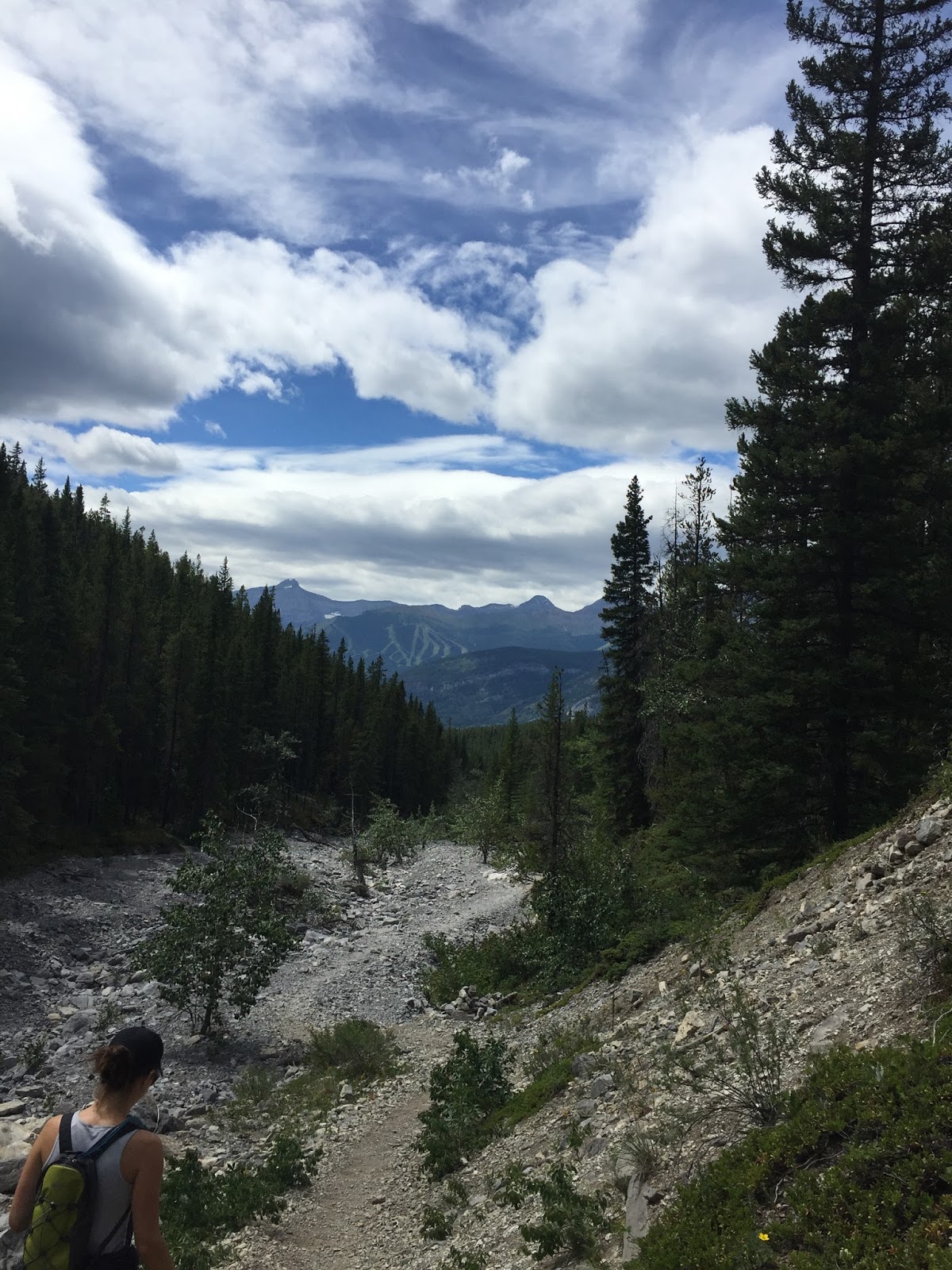
Location: Peter Lougheed Provincial Park
Location: Peter Lougheed Provincial Park
TRAIL HEAD
Marked: Yes
Facilities: No
How to get there: From Calgary drive west on Hwy 1 until exit 118 to Kananaskis Trail/Hwy 40. Drive about 50 km to where the road closes (Dec - Jun). Park and walk to the road blockades and you will see the trail sign.

The yellow portion is your trail.
TRAIL DETAILS
Your trail head will be marked by a sign that says Wintour Trail 5 km (note this is one way and will be another 5 km to return). Route finding is non-existent on this one. You are simply following the highway there and back. Where the snowshoe tracks stop and you see a little neon orange snowshoe sign veering to the left you may continue a short ways. (But this is where we turned around). Return the way you came.
TRAIL HEAD
 |
| The yellow portion is your trail. |
TRAIL DETAILS


Kid Friendly: yes
Dog Friendly: yes
But note the snow is deep off the pre-trampled path (if there is one).
Kid Friendly: yes
Dog Friendly: yes
But note the snow is deep off the pre-trampled path (if there is one).